
Living Shorelines: Wave Energy Thresholds, Elevation Zonation, and Why Most Failures Are Design Errors
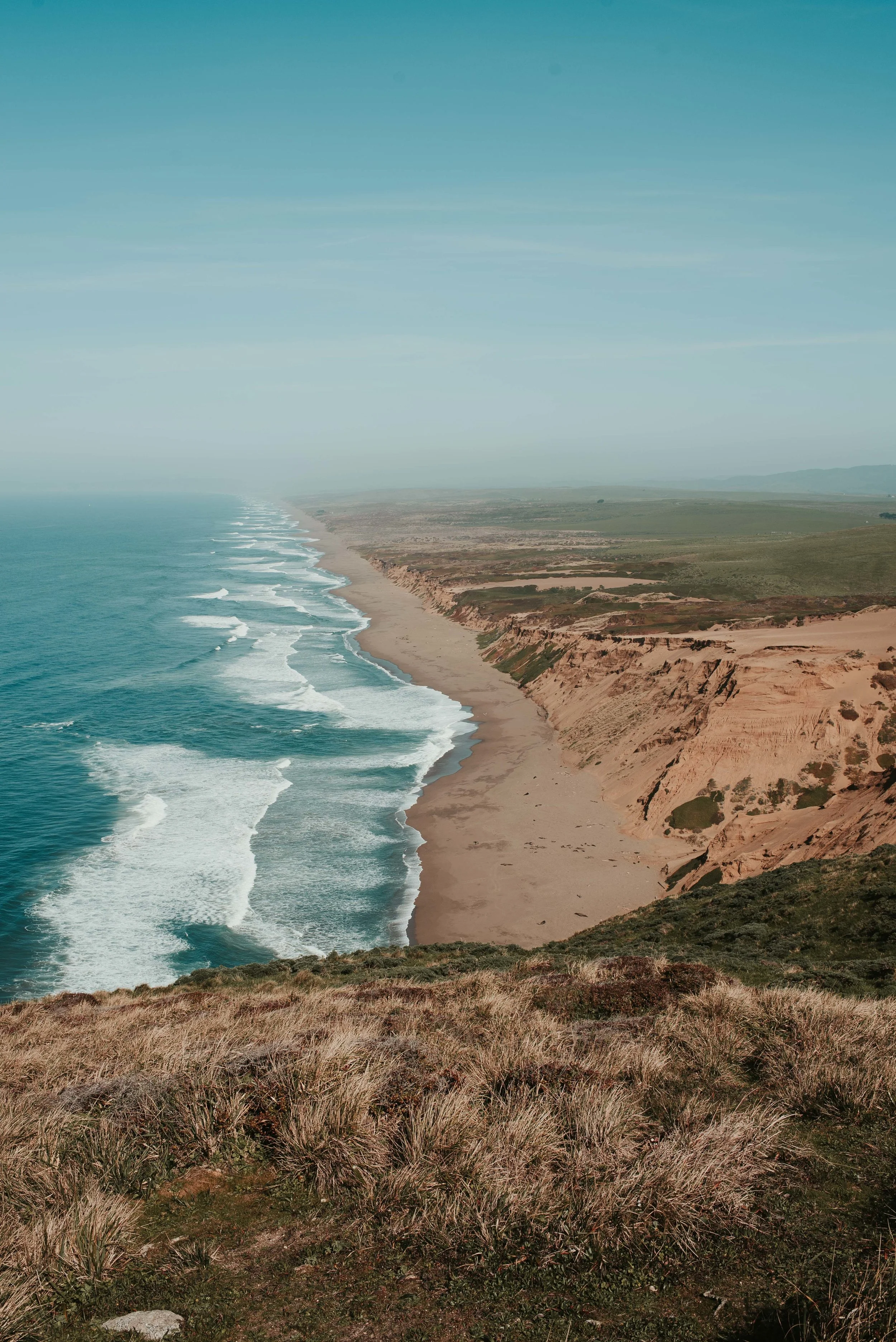
A living shoreline works by dissipating wave energy through friction rather than reflecting it off a hard face. Marsh vegetation extracts energy from a wave as it passes through the stems; a sill or reef structure forces waves to break offshore and reduces the energy reaching the bank. The system builds sediment rather than losing it, and it rises with the water surface as sea level changes rather than being progressively overtopped.
When these projects fail, the cause is usually not that the concept does not work. It is that the site exceeded the energy the design could dissipate, or the planting elevations were wrong, or the construction happened in the wrong season. All three are avoidable with the site analysis that should precede design.
This post covers how to establish whether a site suits a living shoreline, how planting elevation is determined and why it matters more than species selection, how sills are sized and detailed, and where the construction sequence determines whether the project establishes.
1. Site Suitability Is Established by Fetch and Bank Geometry
The first question is whether the wave climate at the site is within the range a vegetated system can handle.
Fetch
Wave height in a sheltered water body is governed principally by fetch, the open water distance over which wind can blow to generate waves, together with wind speed and duration. Longer fetch produces larger waves for the same wind.
Fetch is measured in each direction from the site to the opposite shore, and the design fetch is taken along the direction of the predominant storm winds. A site with 0.5 miles of fetch experiences a very different wave climate from one with 5 miles, and the design response differs accordingly.
As a working framework, sites with fetch under about 1 mile suit vegetation-only treatments in most conditions. Between roughly 1 and 5 miles, a sill or breakwater is generally needed to create the sheltered conditions that vegetation requires. Above about 5 miles, and particularly where the site is exposed to open water, a living shoreline is unlikely to be appropriate and a hybrid or hard solution should be considered. These thresholds shift with local conditions, and the regional guidance published by state coastal agencies usually gives calibrated values.
Boat wake
On many sheltered sites, particularly in navigable channels, boat wake produces more energy at the bank than wind waves do. Wake energy depends on vessel size, speed, hull form, and distance from the bank, and it arrives as a short series of relatively large waves rather than as a continuous wind-driven sea.
A site that appears benign on a fetch analysis can be unsuitable because of traffic in an adjacent channel, and this is a common oversight. Where wake is significant, the design needs a structural element to break the wake offshore, and the sill has to be designed against wake height rather than wind wave height.
Bank slope and available width
A living shoreline needs horizontal space. Marsh vegetation occupies a specific elevation band relative to tidal datum, and the horizontal distance that band occupies depends on the slope of the bank. A steep bank compresses the planting zone into a narrow strip that is too small to dissipate meaningful energy.
The practical requirement is a graded slope in the range of 6:1 to 10:1 through the intertidal zone. Where the existing bank is steeper, achieving that requires grading it back, which means either excavating into the upland, which reduces the property, or filling out into the water, which requires more permitting and more fill. This is frequently the constraint that determines project cost.
6:1 to 10:1
The intertidal slope a marsh planting zone generally requires. A steeper bank compresses the vegetated band into a strip too narrow to dissipate energy, and regrading to achieve the slope is often the largest cost item in a living shoreline project.
2. Planting Elevation Governs Survival
The single most common cause of marsh planting failure is elevation error. Marsh species occupy narrow elevation bands defined by tidal inundation frequency, and a planting installed a few inches outside its band will not survive regardless of how well everything else was executed.
The zonation
Along the Atlantic and Gulf coasts, the pattern is consistent. Smooth cordgrass, Spartina alterniflora, occupies the low marsh, roughly from mean sea level up to mean high water, and tolerates twice-daily inundation. Saltmeadow cordgrass, Spartina patens, and saltgrass occupy the high marsh, from about mean high water up to the spring high water line, inundated only on higher tides. Above that, the transition to upland species.
The vertical extent of these bands is set by the tidal range at the site. In a microtidal system with a range under about 2 feet, the entire marsh occupies a very narrow vertical band and the tolerance for elevation error is correspondingly small. In a system with a 6 foot range, the bands are wider and the planting is more forgiving.
Establishing the datum
Because the bands are defined relative to tidal datum, the design requires survey tied to that datum rather than to an arbitrary local benchmark. Tidal datums are established from water level observation over a tidal epoch and are published for tide stations; for a site distant from a station, the datum has to be transferred by simultaneous observation or by interpolation using published relationships.
Getting this wrong is easy and consequential. A planting design specifying elevations relative to mean high water, installed against a survey referenced to a vertical datum without a correct conversion, can place the entire planting a foot or more out of position, which in a microtidal system puts it entirely outside the viable band.
Species selection follows elevation, not preference
Once the elevations are established, species selection largely follows from them. The design question is not which species to use but where the elevation bands fall on the graded profile and how much horizontal width each occupies.
Within a band there is some latitude, and local genotype matters: plant stock sourced from a similar salinity and latitude establishes better than stock from a distant source. Salinity regime at the site, which varies with freshwater input and can change seasonally, determines whether the site supports salt marsh species, brackish species, or freshwater tidal species.
3. Sill Design
Where wave energy exceeds what vegetation alone can handle, a sill placed offshore of the planting creates a sheltered zone where marsh can establish.
What the sill has to do
The sill's function is to reduce wave energy reaching the planting to a level the plants can tolerate during establishment and thereafter. It does this by forcing waves to break on the structure and by reflecting or dissipating part of the incident energy.
Crest elevation is the parameter that determines how much energy passes. A sill with a crest near mean high water attenuates most waves; a lower crest allows more transmission at higher water levels. The design intent is generally to attenuate substantially at normal water levels while allowing overtopping at higher stages so that sediment and water exchange continues and the marsh behind does not become impounded.
Setting the crest too high produces a structure that functions as a low seawall, blocking exchange, trapping water behind it, and defeating the purpose. Setting it too low provides insufficient shelter for establishment. The elevation is determined from the wave climate and the tidal range together, not from a standard detail.
Stone sizing and structure
Stone size is determined from the design wave height by standard armour stone sizing relationships. The armour layer has to resist displacement under the design wave, and it sits on a filter layer of smaller stone or geotextile that prevents the underlying substrate from being drawn out through the voids.
Foundation is the element most often underestimated. A stone sill placed on soft organic substrate settles into it, and a structure that has settled below its design crest no longer provides the attenuation it was sized for. Where the substrate is soft, either a geotextile foundation mat is used to distribute the load or the structure is oversized to allow for anticipated settlement.
Gaps in the sill, tidal windows, are provided to allow water exchange, sediment transport, and fish passage. Their spacing and width balance exchange against the reduction in shelter, and they are typically staggered rather than aligned so that wave energy entering a gap is not directed straight at the bank.
Oyster reef alternatives
Where the site supports oysters, a constructed reef can serve the sill function while providing habitat. The structure is built from a substrate that oyster larvae will settle on, historically loose shell, more commonly now bagged shell, shell-filled gabions, or precast concrete units designed with the surface texture and interstitial space oysters prefer.
The critical design questions are whether the site has the salinity range oysters require, whether there is a larval supply from existing populations, and whether the structure sits at an elevation with sufficient submergence time for the oysters to feed. A reef built at too high an elevation is exposed too long and the oysters do not survive, which leaves an inert structure rather than a growing one.
Sediment Supply Determines Long-Term Performance
A marsh maintains its elevation relative to rising water by accumulating sediment and organic matter. Where suspended sediment supply is adequate, the marsh accretes and keeps pace. Where the site is sediment-starved, whether because of upstream impoundment, channel dredging, or armouring elsewhere in the system, the marsh cannot build vertically and will eventually drown as water levels rise. Assessing sediment supply is part of establishing whether a living shoreline is a durable solution at a given site or a temporary one.
4. Construction Sequencing and Establishment
More living shoreline projects fail during the first year than at any later point, and most of those failures trace to sequencing.
Build the structure before planting. Where a sill is part of the design, it has to be complete and settled before the marsh is planted. Planting first exposes new plugs, which have no root development and no resistance to wave action, to the full unattenuated energy of the site. A single storm removes them.
Plant within the growing season window. Plugs need time to develop root systems before the first winter storms. Planting in spring or early summer gives a full season of growth; planting in late summer or autumn frequently means the plants are removed by the first significant event. The window is climate-specific and narrower than the construction schedule usually wants it to be.
Use adequate planting density. Individual plugs at wide spacing establish slowly and each is individually vulnerable. Closer spacing, typically 18 to 24 inches on centre depending on species and site energy, produces a continuous root mat faster and each plant shelters its neighbours. The cost difference is modest relative to the failure risk.
Provide temporary stabilisation. Coir logs, biodegradable fibre matting, and temporary sediment retention at the toe hold the substrate while roots develop. These are designed to degrade over two to three years, by which time the vegetation should be self-sustaining. Using non-degradable materials for this purpose leaves debris in the system.
Address herbivory. Geese, nutria, and in some regions crabs will graze newly planted marsh heavily enough to eliminate it. Where herbivore pressure is known, temporary fencing or netting during establishment is necessary. This is regularly omitted and regularly the cause of failure.
5. Monitoring and What It Should Measure
Living shoreline performance is assessed against the objectives the project was designed for, and the metrics that matter are physical rather than aesthetic.
Vegetation survival and percent cover, measured in fixed quadrats, establish whether the planting has established and is spreading. Bank position, surveyed along fixed transects, establishes whether erosion has stopped. Elevation profiles along the same transects establish whether the marsh is accreting or losing sediment.
Structure condition, for sill and reef projects, means settlement relative to the design crest and displacement of armour stone. And for oyster reef projects, oyster recruitment and survival determine whether the structure is becoming a living reef or remaining an inert one.
Monitoring for at least three to five years is standard, since establishment takes that long and since the first year's apparent success can be reversed by a single storm in the second. Adaptive management, replanting gaps, adjusting a sill, adding stone where settlement has occurred, is expected rather than exceptional.
Conclusion
Living shoreline design begins with fetch and wave climate analysis that establishes whether the site is within the energy range a vegetated system can handle, and whether boat wake changes that assessment. Bank grading to a 6:1 to 10:1 intertidal slope creates the horizontal space the planting needs, and that grading is frequently the dominant cost.
Planting elevation, established against tidal datum rather than a local benchmark, governs survival more than species selection does, because marsh species occupy narrow bands defined by inundation frequency. Where energy exceeds what vegetation can dissipate, a sill sized against the design wave and set at a crest elevation that attenuates without impounding provides the shelter for establishment.
And the sequence matters as much as the design: structure before planting, planting within the growing season, adequate density, temporary stabilisation until roots develop, and protection from herbivory. Most failures are attributable to one of those rather than to the approach itself.
