
BIM and Wildfire Risk Simulation: Using Digital Tools to Design for Disaster Before Breaking Ground
In most architectural projects, you design the building and then you hope it performs the way you intended. For most building types in most locations, that's an acceptable approach. The stakes of getting it slightly wrong are modest.
In a wildfire-exposed environment, that approach has a documented failure mode. More than 16,000 structures burned in the 2025 Los Angeles fires. A meaningful number of them were built relatively recently, to applicable codes, with construction quality that wasn't the problem. The problem was that nobody modeled how fire would behave in the specific environment those buildings were placed in, which direction embers would arrive from, how radiant heat from an igniting neighbor would interact with the building envelope, or where the defensible space geometry created a vulnerability that a different siting decision could have avoided.
BIM, combined with fire behavior simulation tools, gives architects and engineers the ability to ask and answer those questions before construction begins. The tools are available now. They're not science fiction. And while they're not code-required for most projects, they're increasingly part of how sophisticated WUI design teams work, especially in the aftermath of the 2025 fires where the profession is doing a serious examination of what good design practice actually requires.
This post covers what these tools are, how they work together, what they're actually useful for in the design process, and what their limitations are.
1. The Problem These Tools Are Solving
Standard WUI building codes tell you what materials to use and how to detail them. They set requirements for roofing, exterior walls, vents, and glazing based on standardized fire exposure scenarios. That's useful. But it doesn't tell you whether the specific configuration of your building on your specific site, with the vegetation on your lot and the neighbor's structure 40 feet upwind, creates a vulnerability that a code-compliant design might still have.
Ember intrusion through unprotected openings is the leading cause of structure ignition in wildfire events. But which openings are most exposed depends on where embers come from, which depends on the dominant wind direction during fire weather events, the terrain that channels those winds, and the fuel load upwind of the building. A vent that's on the leeward side of a structure during a standard test scenario may be on the windward side during the actual fire event, facing the primary ember source. That's a site-specific, event-specific question that standard testing doesn't answer.
Radiant heat exposure from an adjacent burning structure is another area where standard code provisions leave important questions unanswered. The code sets minimum setback requirements that provide some protection against radiant heat from a neighbor. But the actual radiant heat exposure a specific building faces depends on the size of the neighbor's structure, the separation distance, the orientation, and the wind speed during the event. For a building on a hillside where the uphill neighbor is a larger structure only 30 feet away, the radiant heat environment can be substantially more intense than a code minimum setback assumes.
2. The Tool Stack: What's Actually Being Used
No single software platform does everything needed for wildfire risk simulation in a design context. The workflow that sophisticated WUI design teams are using brings together several tools, each contributing a different piece of the picture.
BIM as the model base
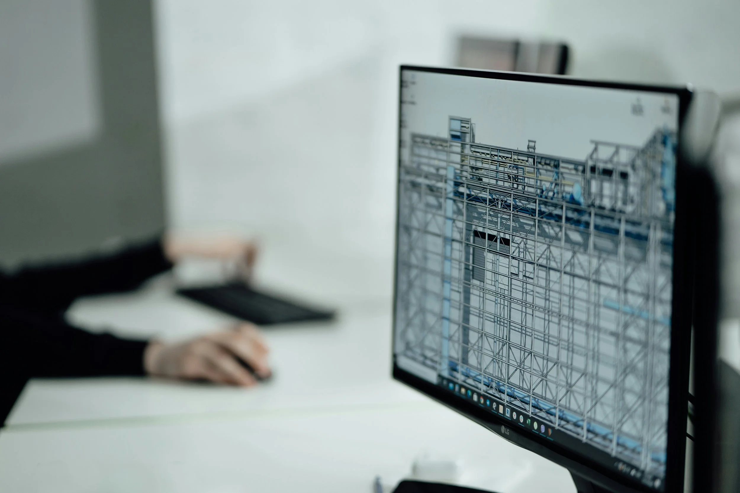
Building Information Modeling platforms, primarily Revit but increasingly Archicad, Rhino, and Vectorworks in design-heavy practices, provide the geometric model of the building. A BIM model captures not just the three-dimensional envelope of the building but the material properties of each assembly, the location and dimensions of openings, the configuration of the roof, and the relationship between the building and the site. That data becomes the input for fire simulation analysis.
The BIM model also captures the design intent at the component level: where vents are located and what protection they have, what the roofing assembly is, where the eave intersects the wall, how the deck attachment detail is configured. All of these are the details that determine how a specific building performs under fire exposure, and all of them are captured in a well-developed BIM model in a way they're not in a two-dimensional drawing set.
Fire Dynamics Simulator (FDS) for structure-level fire analysis
FDS is a computational fluid dynamics tool developed by NIST (National Institute of Standards and Technology) that simulates fire growth and spread, smoke transport, and heat transfer within and around buildings. In WUI applications, FDS can be used to model how a fire approaching from a specific direction would interact with a building: how radiant heat from a burning neighbor reaches the building envelope, how embers would deposit in specific locations based on wind conditions, and how different envelope configurations would respond to that exposure.
FDS models are computationally intensive and require fire protection engineering expertise to set up and interpret correctly. They're not something most architectural practices run internally. But for high-value projects in very high fire hazard severity zones, or for projects where the fire exposure scenario is particularly complex, an FDS analysis during design development can answer specific questions about how envelope modifications or siting adjustments would improve performance.
FARSITE and FSim for landscape-scale fire behavior
FARSITE (Fire Area Simulator) and FSim are landscape-scale wildfire simulation tools that model how fires spread across terrain, vegetation, and fuel conditions based on historical weather data. FSim, developed by the USFS and used in the national Wildfire Risk to Communities product, simulates hundreds of thousands of fire events to generate probability maps of fire occurrence, flame length, and burn probability across large areas.
For site selection and large-scale planning, these tools answer questions at the landscape scale: How likely is a fire to reach this site from the primary fuel sources in the surrounding area? What is the typical flame length at the site boundary under design fire weather conditions? Which approach corridors carry the highest fire probability? Those answers inform siting decisions, site orientation, and the level of fire hardening that the project requires, at a level of specificity that standard hazard zone maps don't provide.
Spark for real-time simulation and planning
Spark is a wildfire simulation toolkit developed by CSIRO in Australia that is gaining traction internationally for research and commercial applications. A new Spark Research platform launched in February 2025, and commercial licensing for Spark2 was becoming available in 2026. Spark's GPU-based computational fire propagation solver allows faster-than-real-time wildfire simulation across complex terrain, making it practical for design team use in project planning phases. Unlike FARSITE which requires significant setup time, Spark is designed for more interactive use, allowing designers to quickly test how different site conditions, vegetation management scenarios, or building placements would affect fire approach probability and intensity.
Ember transport and deposition modeling
Ember transport modeling, which predicts where wind-carried firebrands would deposit on and around a structure based on wind field, ember combustion characteristics, and terrain, is a more specialized tool that's been the subject of significant research since the 2018 and 2021 California fires. NIST's Firebrand Simulator (HIGRAD/FIRETEC coupled models), the University of Melbourne's ember transport research, and proprietary tools developed by fire engineering consultancies are all producing more accurate predictions of ember deposition patterns. For WUI buildings on exposed ridgelines or at the upwind edge of a neighborhood, ember deposition analysis can reveal that the most vulnerable facade orientation is different from what standard assumptions would suggest, and that relatively small siting adjustments or vent relocation decisions would dramatically reduce ember intrusion risk.
What This Workflow Looks Like in Practice
A typical simulation-informed WUI design process begins with landscape-scale analysis during site selection and early schematic design: using FARSITE or FSim data to understand fire approach probability and dominant direction. This informs building orientation and siting on the site. During design development, a structure-level analysis using FDS or a fire engineering consultant's assessment addresses specific envelope questions: how radiant heat from the most likely adjacent ignition sources reaches the building, and which vent and opening locations are most exposed. The BIM model provides the geometry input to both levels of analysis. The result is a design that has been explicitly tested against its fire exposure scenario, not just against a generic code exposure assumption.
3. What Simulation-Informed Design Actually Changes
For projects that go through this process, the design changes that result are almost never dramatic. Fire simulation doesn't reveal that a building needs to be a completely different shape. It typically reveals that specific details, where specific openings are located, how the roof-wall interface is configured, where the deck attachment detail creates an ember trap, need to be addressed differently than a code-minimum approach would produce.
The most common design modifications that come out of simulation-informed WUI design are: relocating vents from the windward to the leeward facade, where ember deposition modeling shows that the windward locations are significantly more exposed than standard assumptions; modifying roof overhang details to eliminate horizontal ledge surfaces where embers would accumulate; adjusting setback geometry on the upwind side of the building where radiant heat from a specific neighbor creates a higher exposure than the code minimum setback was designed for; and selecting more protective vent hardware than the minimum code requirement specifies, at the specific locations that deposition modeling identifies as the highest-risk points.
None of those changes are expensive relative to the total project cost. A 25-foot setback that becomes a 35-foot setback because of a radiant heat analysis doesn't cost much more. A vent location that moves from the windward to the leeward wall costs nothing in a design that hasn't been built yet. The value of simulation-informed design is that it identifies these high-leverage, low-cost modifications before construction rather than discovering the vulnerability after a fire.
4. The Limitations
It would be misleading to present these tools as a guarantee. They're not. Wildfire behavior has irreducible uncertainty that no simulation captures completely. The specific wind conditions at the moment a fire reaches a site, the moisture content of vegetation on the day of the event, the ignition sequence in a neighborhood where multiple structures start burning simultaneously: all of these introduce uncertainty that simulation can bound but not eliminate.
The tools are also only as good as the inputs. A landscape-scale fire simulation based on vegetation data that hasn't been updated to reflect recent defensible space clearing, or that uses historical weather data that doesn't capture how fire weather patterns are shifting under climate change, produces results that should be interpreted with appropriate uncertainty.
And the tools require expertise to use correctly. A BIM model fed into FDS by someone who doesn't understand how to set up boundary conditions, mesh resolution, and ignition scenarios correctly produces results that look precise but may not be meaningful. Fire protection engineering expertise is needed to set up and interpret these analyses correctly.
None of this means the tools shouldn't be used. It means they should be used thoughtfully, with realistic expectations about what they can and can't tell you, and with appropriate professional expertise involved in the analysis.
For Homeowners and Developers
If you're building in a WUI zone and you want to understand what a simulation-informed design process looks like, ask your design team specifically whether they're using any fire behavior analysis tools in the design development phase. Not all teams are. Those that are tend to work with fire protection engineering consultants who have the specialized expertise these tools require. The cost of that additional analysis is typically modest relative to total project cost, and the information it provides is genuinely different from what a code-compliance check produces.
Conclusion
The tools exist to design WUI buildings for their specific fire exposure rather than for a generic code scenario. They're not yet standard practice across the industry, and they're not required by current codes for most projects. But the 2025 LA fires made a compelling case for why design teams working in fire-prone zones should be using them, and the post-fire professional reckoning in California's architecture and engineering community is pushing in that direction.
Designing for the specific fire, not for the standard test, is what these tools make possible. For a building type where the consequences of getting it wrong are catastrophic and irreversible, that level of design specificity seems worth the investment.
